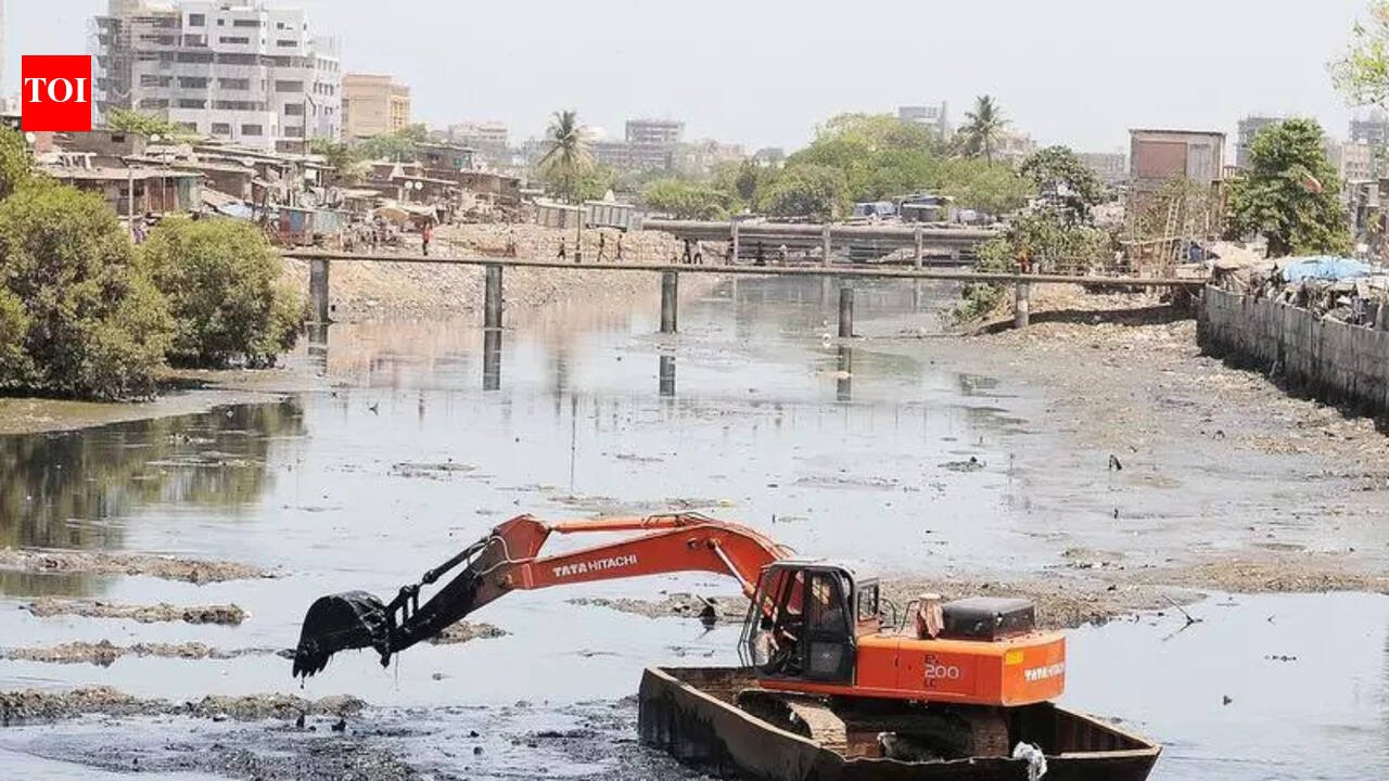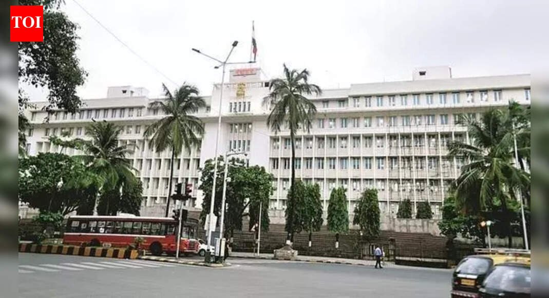
Mumbai: The state govt has approved the revision to the development plan (DP) for Backbay Reclamation Scheme (BBRS)—covering blocks III to VI between Nariman Point and Colaba —clearing the way for a series of infrastructure, connectivity and land-use changes in south Mumbai’s premium waterfront zone.Prepared by MMRDA, the revised draft DP looks at planning the Backbay area up to 2041 and proposes new road links, a marina, a helipad, and changes in land-use reservations, while retaining safeguards linked to the coastal regulation zone (CRZ). The BBRS planning area spans over 237 hectares—109.9 hectares of reclaimed land, 123.1 hectares falling under the sea and over 4 hectares of mangroves. The stretch is bounded by Madame Cama Road in the north, block VII in the south, the sea on the west, and Captain Prakash Pethe Marg and General J Bhosale Marg on the east. One of the key proposals cleared is an elevated road connecting National Centre for the Performing Arts with Badhwar Park, intended to improve east-west connectivity between Nariman Point and Colaba. The plan also proposes 15m-wide roads along the fishermen colony and an 18m-wide access road to Ganesh Murti Nagar to ease local traffic congestion. The revised DP also introduces a new marina reservation along the waterfront and earmarks land for a helipad in south Mumbai, citing the need for faster airport connectivity for VIP movement and international visitors. Significant land-use changes have been proposed around Vidhan Bhavan, where plots used for parking and gardens have been reserved for the new council hall’s and ancillary facilities, citing security needs and increased footfall during assembly sessions. The plan specifies that future development must include parking for at least 500 vehicles. The DP acknowledges the presence of 22.5 hectares of slums, including areas formed due to additional reclamation after the 2000-01 sanctioned plan. Slum pockets covered under approved Slum Rehabilitation Authority schemes have been proposed to be designated as residential zones. The DP notes that over 177 hectares falls under CRZ and clarifies that all future development will be governed by the 2019 CRZ norms.Public suggestions and objections will be invited before the plan is finalised.